The Jeep Rubicon Trail is one of the most famous off-road routes in the world. It draws adventurers, Jeep lovers, and outdoor enthusiasts who want to test their skills and vehicles.
But where exactly is the Rubicon Trail, and why is it so special? Let’s explore its location, history, and what makes it a legendary journey.
Where Is The Rubicon Trail Located?
The Rubicon Trail is in Northern California, USA. It runs through the Sierra Nevada mountains, between Georgetown and Lake Tahoe. The main trail starts near the small town of Georgetown, about 60 miles northeast of Sacramento, and ends at Tahoma on the western shore of Lake Tahoe.
The trail itself covers about 22 miles. It passes through high mountain forests, rocky hills, and scenic lakes. Most of the route lies inside El Dorado County and the Eldorado National Forest. Many people visit during summer, when snow has melted and conditions are safer.
Here’s a simple comparison of key points along the route:
| Point | Distance from Start | Elevation |
|---|---|---|
| Georgetown (Start) | 0 miles | 2,700 ft |
| Loon Lake | 7 miles | 6,400 ft |
| Rubicon Springs | 16 miles | 6,000 ft |
| Tahoma (End) | 22 miles | 6,200 ft |
Trail History And Jeep Connection
The Rubicon Trail dates back to the late 1800s, when it was used as a wagon route. It became popular with early motorists in the 1900s, but its reputation grew in the 1950s. Jeep owners started organizing annual trips to test their vehicles on the rocky path. This tradition continues today, especially during events like the famous Jeep Jamboree.
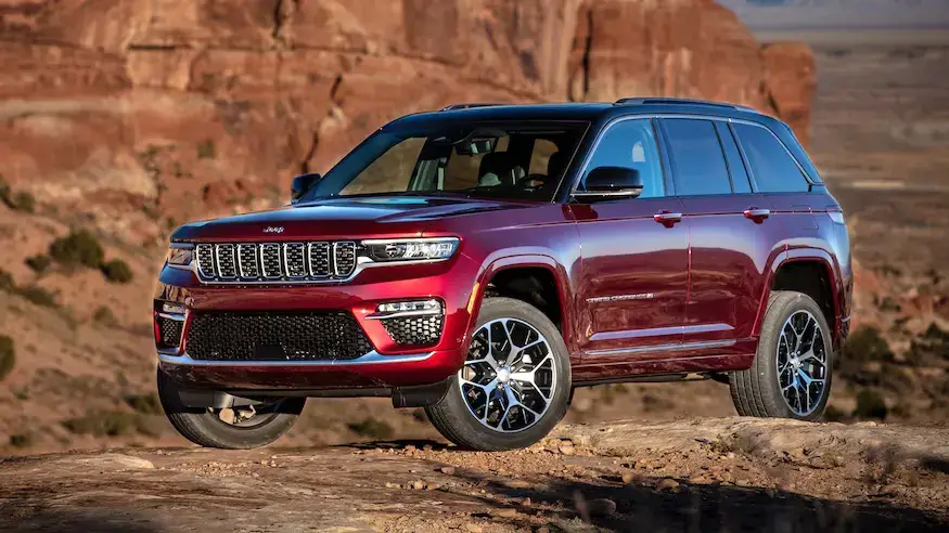
Jeep named its toughest model, the Wrangler Rubicon, after this trail. The Rubicon Trail is considered a benchmark for off-road ability. If a vehicle can handle the Rubicon, it’s seen as truly capable.

What Makes The Rubicon Trail Special?
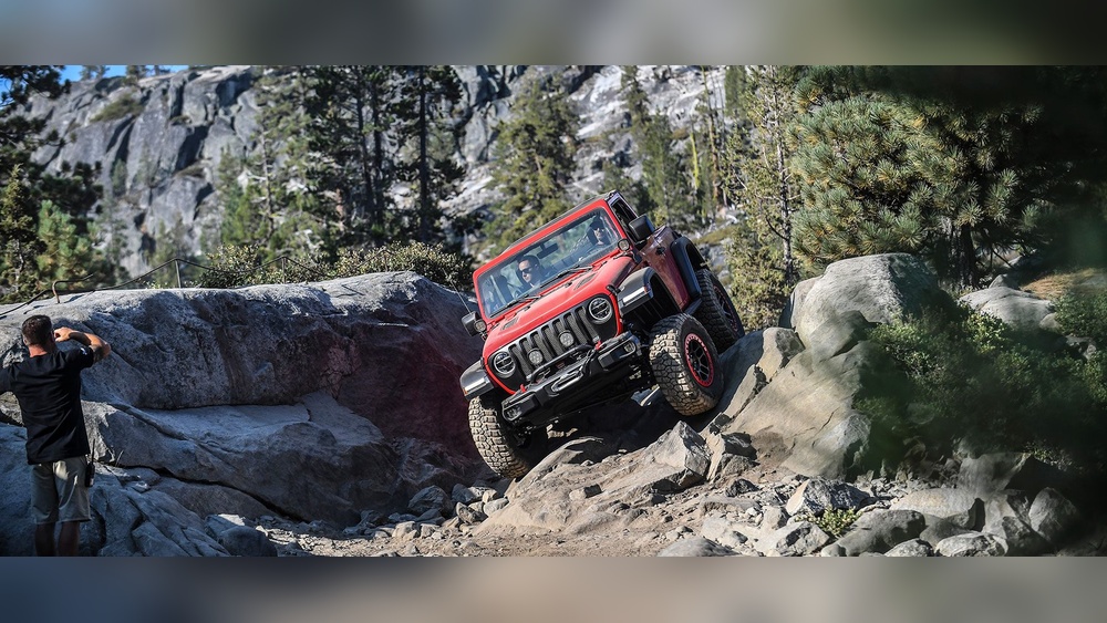
The Rubicon Trail is not just a road—it’s a challenge. The terrain is rough, with large rocks, water crossings, steep climbs, and tight turns. Drivers need experience, patience, and the right equipment.
Here are features that make the trail unique:
- Technical Obstacles: Parts of the trail, like the Gatekeeper and Little Sluice, are famous for their difficulty. These sections test both vehicle and driver.
- Scenic Beauty: The route passes through alpine forests, granite slabs, and lakes. You see views of the Sierra Nevada and Lake Tahoe.
- Community: Every summer, hundreds gather for the Jeep Jamboree. It’s a chance to meet fellow fans and learn from experts.
Compare Rubicon to other trails:
| Trail Name | Location | Length | Difficulty |
|---|---|---|---|
| Rubicon Trail | California | 22 miles | Extreme |
| Moab | Utah | 16 miles | Moderate to Hard |
| Black Bear Pass | Colorado | 10 miles | Hard |
How To Access The Rubicon Trail
Most people start at Loon Lake or Wentworth Springs. These entry points have parking, campsites, and places to check your vehicle. The trail is open to 4×4 vehicles, dirt bikes, and sometimes mountain bikes.
Before you go, check trail conditions. Snow, mud, and fallen trees can block the path. The best time is June to September, when the weather is mild.
Essential Tips For First-time Visitors
- Bring a map and GPS: Cell service is limited.
- Prepare your vehicle: High-clearance, 4WD, and skid plates are recommended.
- Carry spare parts: Tires, tools, and recovery gear are essential.
- Travel with a group: Solo travel is risky due to the remote location.
- Respect the environment: Stay on marked paths and pack out trash.
Many beginners miss the importance of permits and trail rules. In some areas, you need a permit for camping or group travel. Check with the Eldorado National Forest office before your trip.
Another common mistake is underestimating the weather. Temperatures can drop quickly at night, and storms are frequent. Always pack warm clothes, extra food, and water.

The Rubicon Experience: What To Expect
Driving the Rubicon Trail can take two to three days. Many groups camp at Rubicon Springs, which offers basic facilities. The journey is both physically and mentally demanding. You’ll need to spot obstacles, guide your vehicle carefully, and help others if they get stuck.
Here’s a simple breakdown of what a typical trip involves:
| Day | Main Activity | Distance Covered |
|---|---|---|
| 1 | Entry & First Obstacles | 7 miles |
| 2 | Central Challenges & Camping | 9 miles |
| 3 | Final Stretch & Exit | 6 miles |
Many visitors say the Rubicon Trail teaches patience and teamwork. It’s not just about driving—it’s about solving problems, learning, and building memories.
Frequently Asked Questions